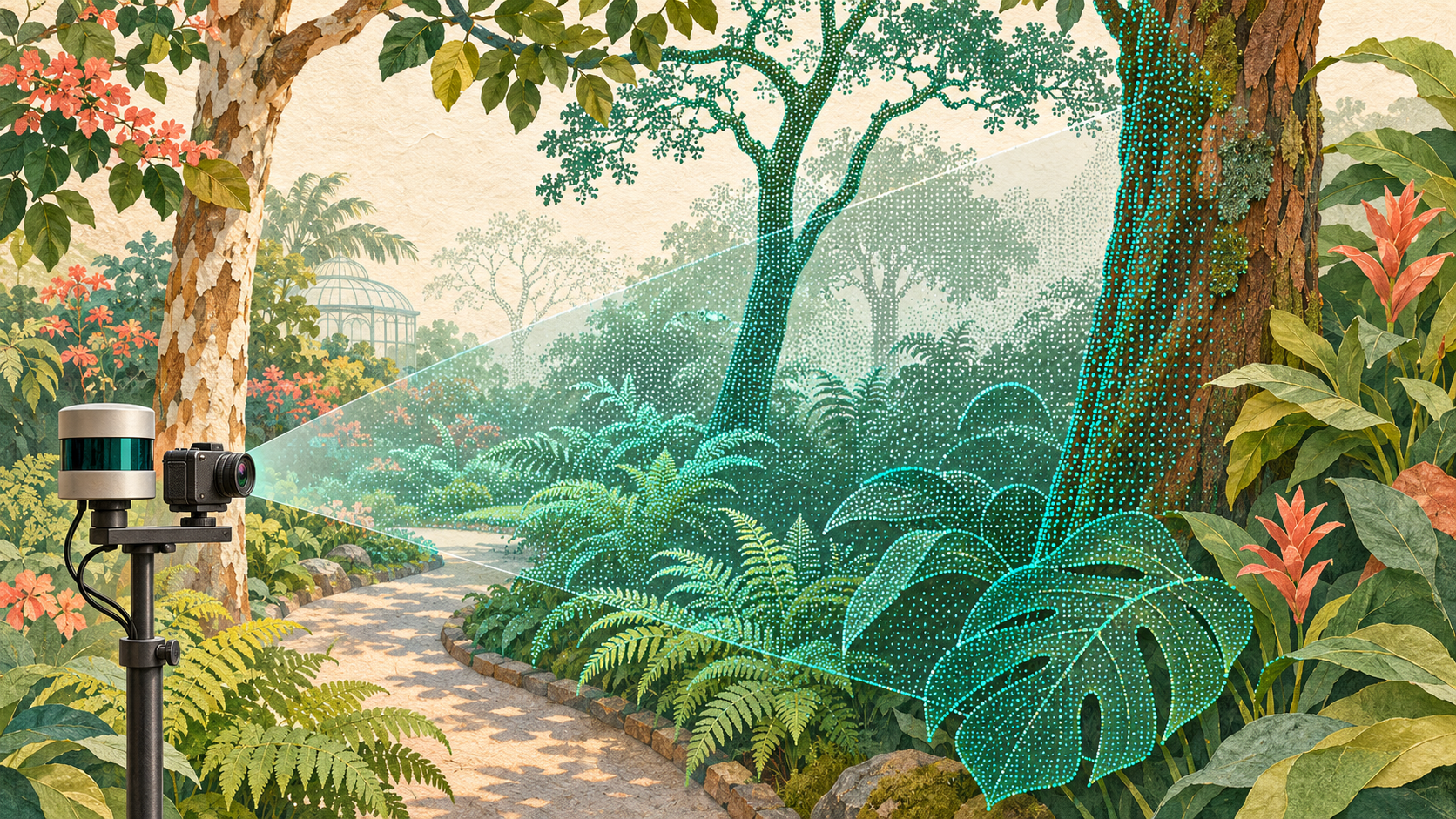
Researchers at Loughborough University propose reusing mobile LiDAR recordings to evaluate camera-based depth estimation and 3D reconstruction in vegetation-rich environments. Their pipeline produces camera-view reference geometry while reducing reliance on costly, complete laser-scanner surveys.
Zhipeng Zhong, Matthew Coombes and Cunjia Liu describe the work in an arXiv preprint posted on November 3, 2026. Peer review and independent replication are not verified.
The pipeline aligns camera images, LiDAR measurements and reference positions and orientations, corrects motion distortion, removes noisy samples and accumulates 21 neighboring scans. Accumulation increases density, but can incorrectly project background points onto foreground vegetation because of occlusion, incomplete sampling and differences between camera and LiDAR viewpoints.
The proposed Large-Depth-Gap Visibility Score examines neighboring projected depths for large discontinuities. Samples behind nearer depth groups receive lower scores. The score also guides automatic scale selection for Hidden Point Removal, which estimates visibility directly from a point cloud. A tested configuration targets a 5% proportion of occupied pixels classified as having low visibility, followed by filtering at a visibility-score threshold of 0.7. These are algorithm settings, not measured error rates.
The researchers tested reference accuracy using simulated TartanAirV2 and TartanGround data. LiDAR aligned with the left camera was projected into the right camera to introduce viewpoint separation, then evaluated against known right-view depth. The authors report that combined Hidden Point Removal and visibility-score filtering retained approximately three times the reference density of Poisson surface reconstruction at comparable absolute relative depth error. This is a trade-off between accuracy and coverage; the comparison on sparse mobile scans does not establish general inferiority of Poisson reconstruction, which is suited to dense, complete surveys.
The pipeline was also applied to the real-world BotanicGarden dataset for zero-shot comparisons of feed-forward visual-geometry models with conventional structure-from-motion, which reconstructs geometry through matched image features and triangulation. The authors report that feed-forward methods produced dense predictions efficiently, but their reconstructions could contain duplicated structures. Conventional methods generally produced more coherent geometry, while remaining sparse and more prone to failure in challenging vegetation.
The findings remain setting-specific. Reference accuracy was validated in simulation, without independent real-world depth validation reported. The pipeline assumes static scenes and depends on accurate poses, calibration and timing; sparse sampling and accumulated scans can leave visibility errors. Nearby frames and overlapping scans are dependent observations, and the supplied evidence does not establish independent sampling units or confidence intervals. Training-data overlap and held-out parameter selection also cannot be assessed. The results do not establish operational reliability for agricultural robots. The authors promise a toolkit and dataset release; availability is not confirmed.
Source: https://arxiv.org/abs/2611.05361